Earthquake colombia – august 10th 2026
On August 10, 2026, a powerful magnitude 7.4 earthquake struck southwestern Colombia at approximately 8:47 a.m. local time, centered 5 km south of San José del Palmar in the department of Chocó. A magnitude 5.0 aftershock followed roughly 30 minutes later in the same area. The quake occurred at an intermediate depth of approximately 110 km and was felt strongly across the surrounding region, with a community-reported intensity of 7.9 (very strong to severe shaking). Colombia sits at the convergence of the Nazca, Caribbean, and South American tectonic plates, making this Pacific–Andean corridor one of the most seismically active regions in the world. The USGS issued a red PAGER alert for the even, its highest tier, indicating a high likelihood of significant casualties and structural damage, with the departments of Chocó, Risaralda, and Valle del Cauca most exposed.
COLOMBIA
EARTHQUAKE
MAGNITUDE 7.4
Heritage Sites within the AOI
This map displays the location of the 10th of August 2026 earthquake epicenter near San José del Palmar, Chocó, the modeled intensity zones (Mw 3-9) based on USGS data, and the distribution of cultural heritage sites across Colombia, compiled from UNESCO World Heritage listings and OpenStreetMap contributions.
| Indicator | Value |
|---|---|
| UNESCO World Heritage sites exposed | 9 |
| OSM Historic and Cultural Sites | 5547 |
| Total potentially exposed heritage sites | 5556 |
Heritage Sites
UNESCO Heritage SItes
OSM Historic and Cultural Sites
Earthquake Epicenter
Heritage Sites Potentially Exposed
This map visualizes the relationship between Colombia’s heritage sites and earthquake intensity. Each site is assigned a Modified Mercalli Intensity (MMI) value based on the USGS ShakeMap at its location, allowing heritage sites to be categorized according to the level of ground shaking experienced.
| Indicator | Value |
|---|---|
| Sites exposed to MMI ≥ 5 | 839 |
| Sites exposed to MMI ≥ 6 | 329 |
| Sites exposed to MMI ≥ 7 | 117 |
| Sites exposed to MMI ≥ 7.9 | 7 |
Heritage Exposure by Intensity Gradient
Low
Moderate
High
Very High
Extreme
Satellite imagery footprints
This map displays the footprints of high-resolution satellite imagery available over the AOI, filtered by Ground Sampling Distance (GSD ≤ 0.5 m) to ensure suitability for damage assessment. Hovering over a footprint shows its provider, price, resolution, cloud cover, and acquisition date.
Pre & post satellite imagery
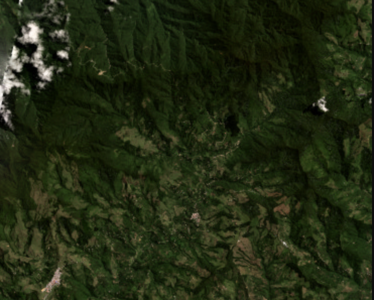
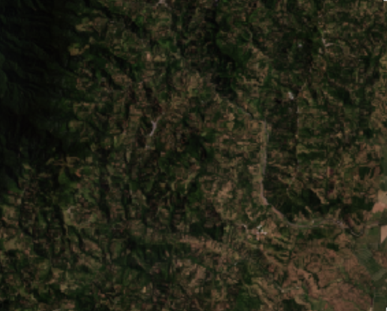
This map displays the footprint of satellite imagery available through Planet Labs’ Crisis Response Program for the areas affected by the August 10, 2026 Colombia earthquake. The imagery includes pre-event basemap and post-event high-resolution optical acquisitions from the PlanetScope and SkySat constellations, providing coverage to support rapid damage assessment and emergency response.